What the Land Tells Us: A Season Along the Region's Eastern Watershed
A correspondent spent four months moving through the watershed communities — talking to farmers, regulators, and residents — to understand what the water table's slow decline means for the people who live above it.
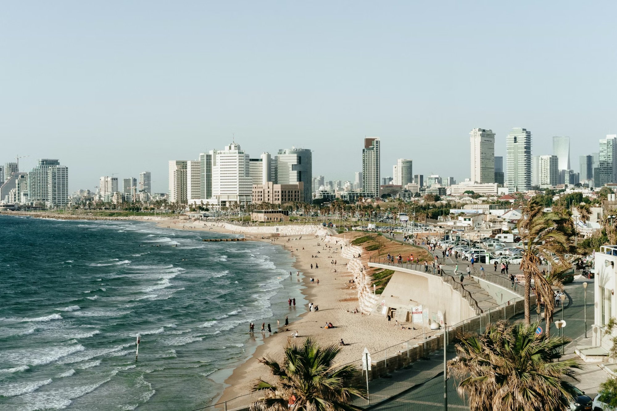
The eastern watershed communities face shifting environmental conditions.
The first thing Martin Vella shows me, when I arrive at his farm in mid-April, is not the fields or the equipment or the house where his family has lived for three generations. It is a well. The well is old — sunk in the 1940s by his grandfather, who chose the spot based on advice from a neighbor who was said to have a feeling for such things. The well works. But it works, Martin tells me, a little less well than it used to, and the change, which is measured in feet of water depth and in the time it takes the pump to recover after heavy use, is something he thinks about more than he used to.
I spent four months this year moving through the communities of the eastern watershed, talking to farmers and regulators and residents and the officials responsible for managing a resource that most people who depend on it rarely think about in specific terms. What I found was not a crisis — not yet, and possibly not ever, if certain decisions are made in the next several years with the seriousness they warrant. What I found was a slow, uneven, incompletely documented change in the conditions that have sustained agricultural and residential life in this part of the region for longer than anyone currently living can remember.
The Groundwater Question
Groundwater is invisible. This is both a physical fact and a political one. You cannot see an aquifer declining the way you can see a river running low or a reservoir shrinking. The evidence accumulates in well logs and pump performance data and the observations of people who have been paying attention long enough to notice a change. It does not accumulate in a form that is easy to communicate to a planning commission or a county board or a state legislature, and so it tends not to be communicated effectively, and the decisions that might address it tend to be deferred.
"The aquifer doesn't care about our budget cycles," one hydrogeologist told me. "It operates on its own schedule. Our job is to understand that schedule well enough not to be surprised by it."
Several of the farmers I spoke with described noticing changes in their well performance over the past decade. The changes are not dramatic in any individual case. A well that produced a certain flow rate now produces somewhat less. Recovery time after irrigation draws has lengthened. These are the kinds of changes that a single farmer might attribute to equipment wear or local variation. What makes them significant is that they are happening across the watershed, in roughly similar patterns, in ways that the available hydrogeological data suggest are not coincidental.
What Might Be Done
There is no shortage of proposed responses to the conditions I documented. They range from modest — improved monitoring, voluntary conservation programs, updated well registration requirements — to substantial, including managed aquifer recharge projects that would require significant capital investment and multi-jurisdictional coordination. What they have in common is that they require public attention and public resources, both of which are in shorter supply than the problem demands.
Martin Vella, at the end of my visit, walks me back to the well. He puts his hand on the pump housing in a way that seems less like inspection than habit. "My grandfather picked this spot," he says. "I don't know if he knew what he was doing or if he got lucky. Either way, it's worked. I'd like it to keep working." He pauses. "I'd like my kids to have the same option."
That seems, to me, like a reasonable thing to want. Whether the region's governance structures are organized to deliver it is a question I will continue to report on.